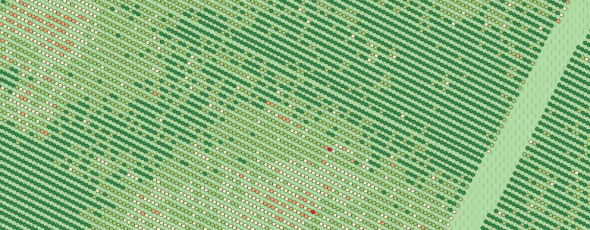
Winegrowers expressed the wish to see what was happening at the level of vineyard rows. Last summer, this wish was granted. New algorithms providing more precise images have resulted in the commercialization of a new product, at the cutting edge of cartography, for visualizing vineyard rows.
Non classé
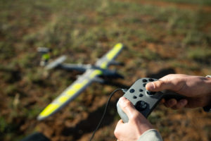
Trinity Pro et portée du signal
Étendre la portée de communication avec le Trinity Pro ? C’est possible 💡 Pour les opérations BVLOS avec le Trinity Pro de Quantum Systems,