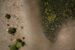
Begun in 2016, the mapping of the pre-Inca sites in the region of Uyuni (Bolivia) continued in 2017. A fixed-wing drone mapping mission was conducted on a dozen sites located on the slopes of the Tunupa Volcano. The objective of these mapping missions is to understand the pre-Inca farming system of quinoa production. This data is of interest to the scientists of the CEFE ecology research centre for their anthropological and agronomic research.
Non classé
Trinity Pro et portée du signal
Étendre la portée de communication avec le Trinity Pro ? C’est possible 💡 Pour les opérations BVLOS avec le Trinity Pro de Quantum Systems,