Photogrammetry
Photogrammetry is a passive technology based on the principle of stereoscopy. It allows you to reconstruct a 3D model from images taken from different points of view. It requires taking a series of broadly overlapping photos.
Precise 3D modeling
The advantage of photogrammetry is that it can be used with aerial images taken by a drone or plane, meaning it can be used for surface area, resolution and precision at all scales. Extensive areas or difficult-to-access zones are best covered by plane. If done by a drone, it allows objects to be studied at resolutions down to the millimetric scale.
Its principal advantage is that it can be used to generate 3D colour models of the terrain (colorization of the point cloud, texturization of the 3D cloud, overlaying orthophotos onto elevation models, etc.)
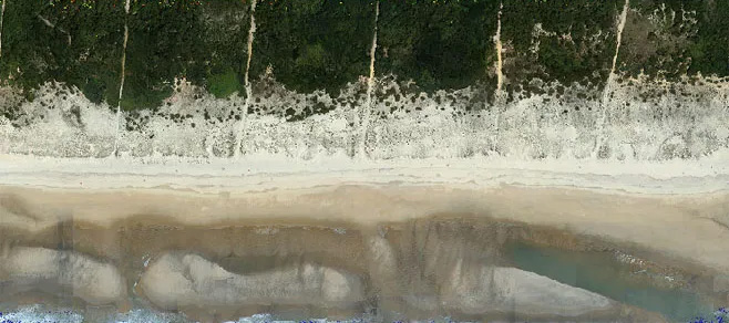
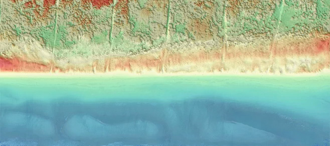
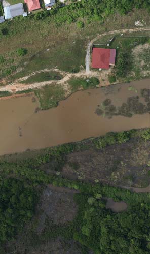
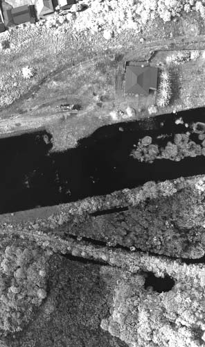
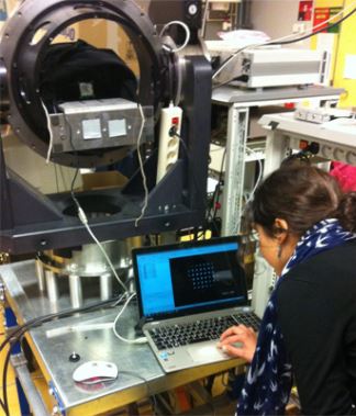
Near-infrared
Near-infrared (NIR) is a portion of the electromagnetic spectrum which objects absorb to a greater or lesser degree. The amount of NIR that is reflected and thus recorded in images is an important feature of their spectral signature. Capturing this signature is especially useful when studying wet zones, bare soil and vegetation. From it, we can calculate spatial indices on water content or the photosynthesizing activity of biomass that experts are then able to interpret and use in decision-making.
Multiple applications
Urban
Des capteurs moyens et grands formats embarqués sur des avions permettent de modéliser avec précision et réalisme des villes en 3D.
Geohazards
La photogrammétrie est parfaitement adaptée à la modélisation 3D à très haute résolution. C'est un outil performant pour optimiser les études d’expertise et de zonage des risques sur des secteurs difficilement accessibles, comme les falaises par exemple.
Environment & agriculture
L’utilisation de l’infrarouge dans la production d’orthophotographie est particulièrement adaptée pour la caractérisation de la végétation et la cartographie de vigueur.