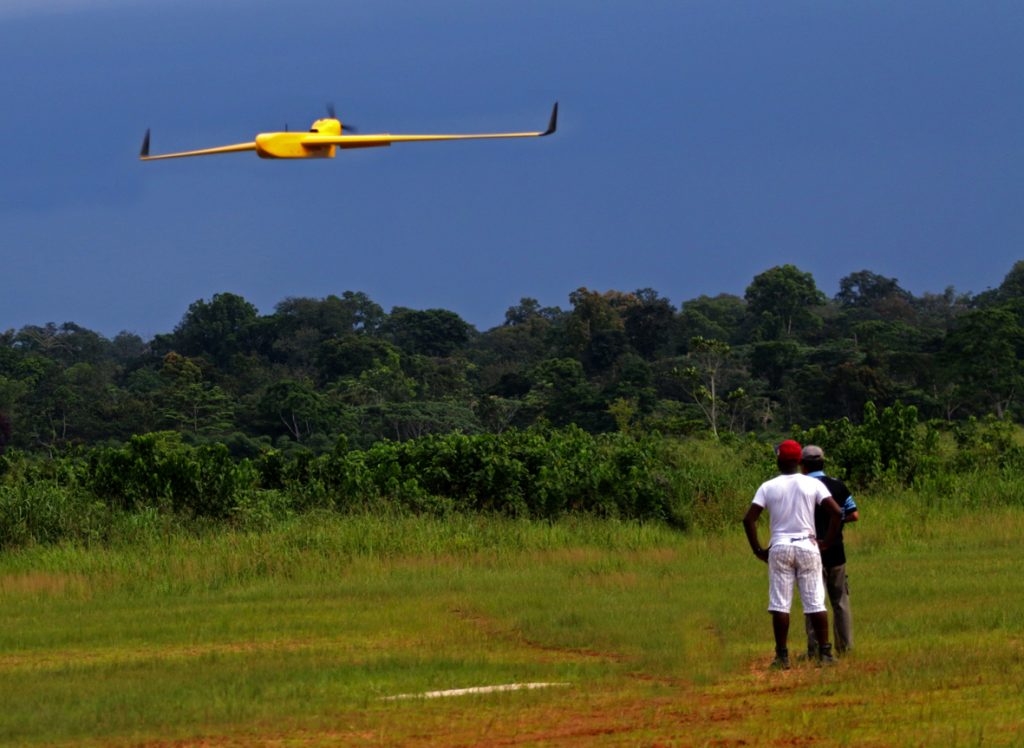
OLAM Gabon commissioned L’Avion Jaune to supply a drone capable of mapping its tens of thousands of hectares of palm tree plantations. The operation was successfully completed with the provision of a Boreal system and in-situ staff training.
Non classé
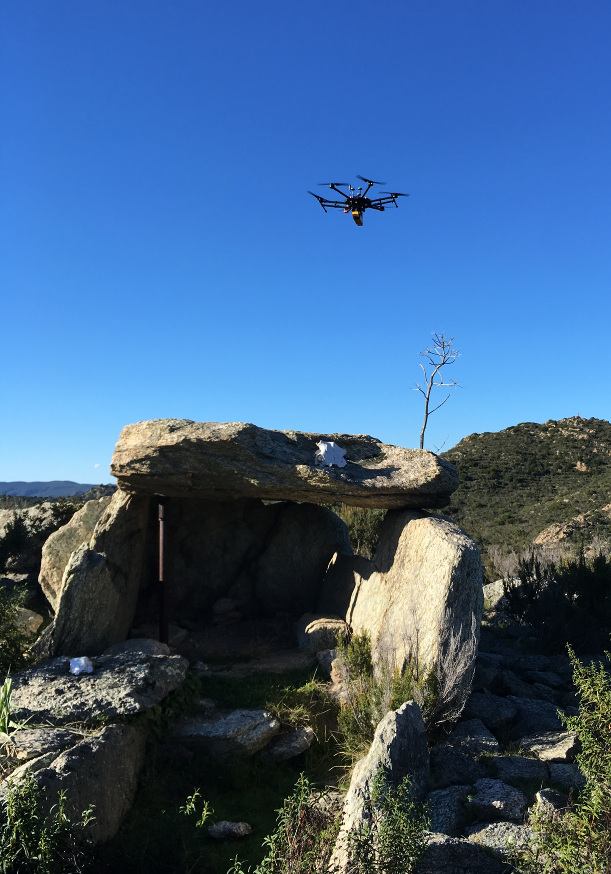
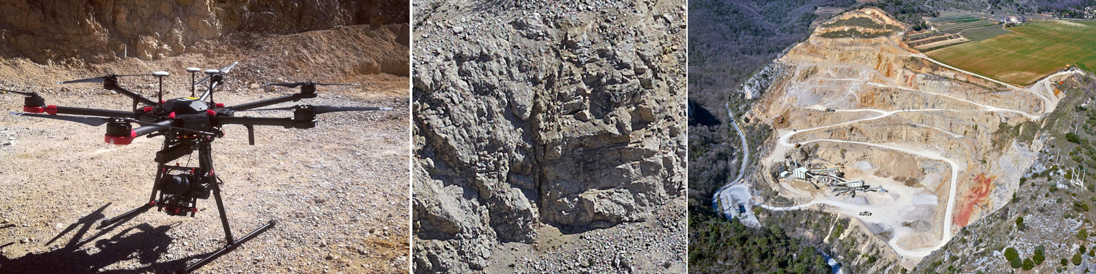
Photogrammetry for geological research
Together with its partner Positics, L’Avion Jaune has built a Phase One iXU 1000 sensor into its M600 drone to produce very high-resolution 3D models of quarries.