2019 got off to a great start with a mission from the Regional Directorate of Cultural Affairs – to survey the microrelief of the archaeological site of Monte Revincu in northern Corsica.
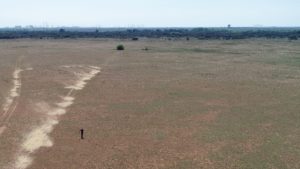
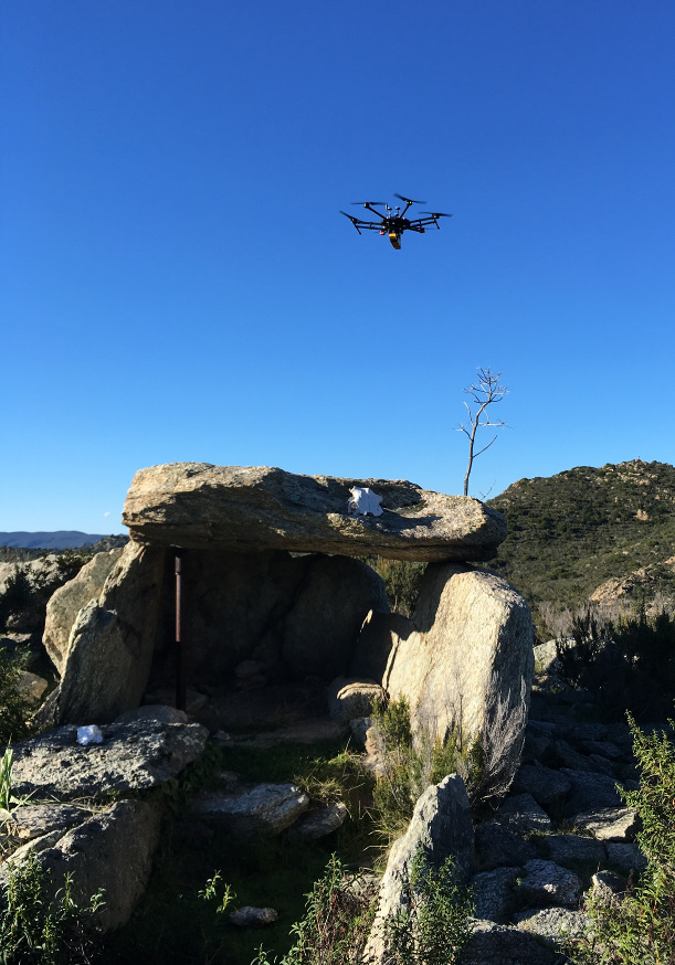
Overlooking the gulf of Saint Florent and the Agriates desert, Monte Revincu is the site of one of the best-conserved Neolithic villages of the western Mediterranean. During the course of excavation, some fifty stone-built domestic and funerary structures have been discovered, including two dolmens and foundations of dwellings.
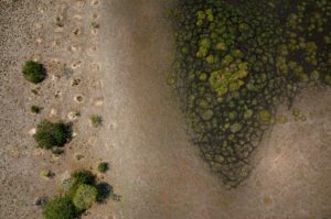
The objective of lidar scanning is to produce a precise map of these structures and understand how they were integrated into the landscape in order to pave the way for more in-depth archaeological analysis and plan the development of the site.
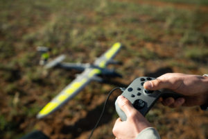
For this mission, the YellowScan Vx-20 laser scanner on board a DJI Matrice 600 drone covered nearly 60 km and in 17 flights scanned more than 150 hectares. Also, using RTK GPS the fieldwork duo measured more than 200 control points on the structures uncovered during excavation. Operations were conducted over a timescale of five days due to the challenges of the extreme ruggedness of the site, the density of the maquis vegetation and the physical difficulty of accessing the take-off points.
But it was a successful mission for the team of L’Avion Jaune, who harvested more than 300 million data points!