
Photogrammetry for geological research
Together with its partner Positics, L’Avion Jaune has built a Phase One iXU 1000 sensor into its M600 drone to produce very high-resolution 3D models of quarries.

Together with its partner Positics, L’Avion Jaune has built a Phase One iXU 1000 sensor into its M600 drone to produce very high-resolution 3D models of quarries.
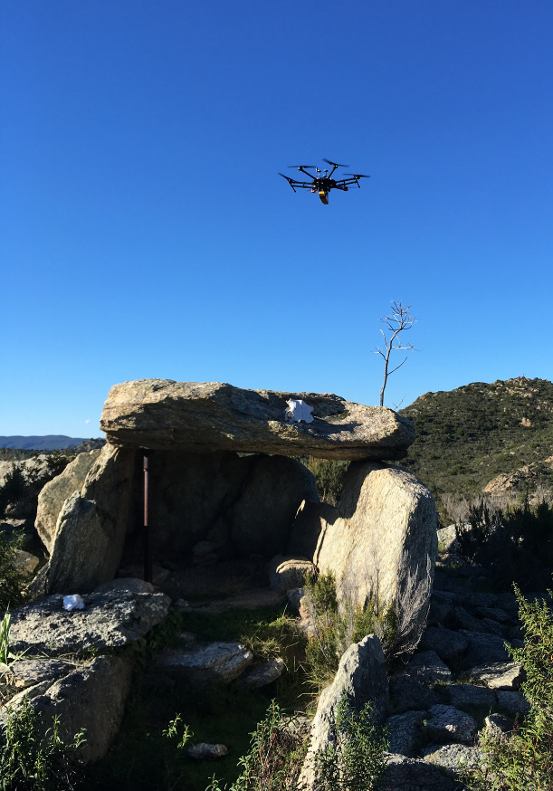
2019 got off to a great start with a mission from the Regional Directorate of Cultural Affairs – to survey the microrelief of the archaeological
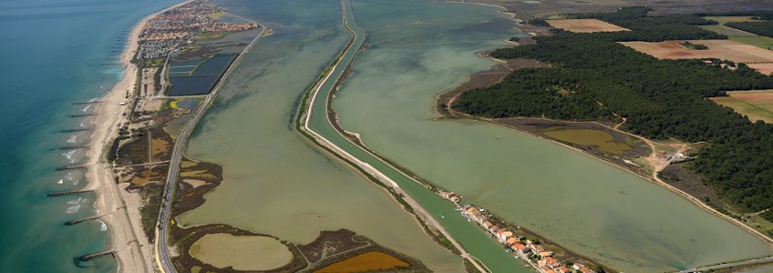
Since 2018, L’Avion Jaune has regularly captured images that combine technical information and aesthetics. The Technical Services of Region Occitanie plan, monitor ongoing works, and
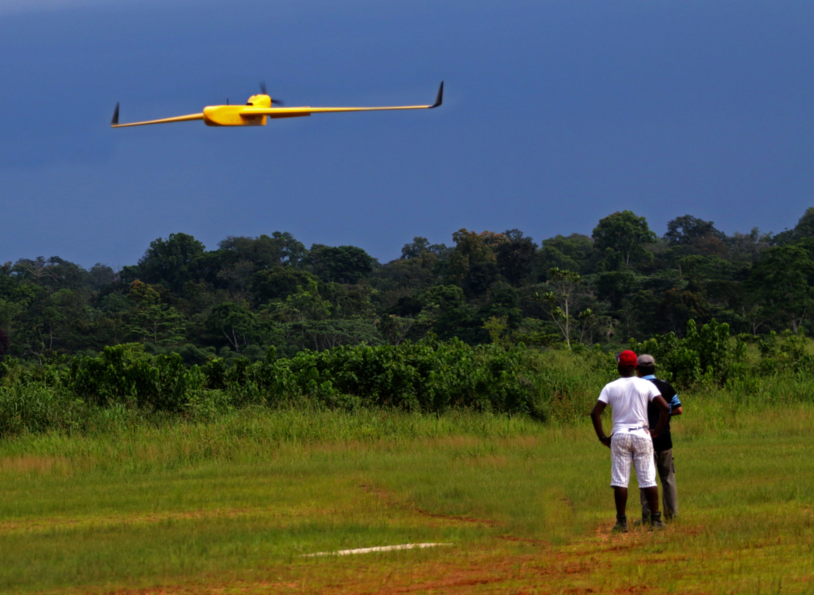
OLAM Gabon commissioned L’Avion Jaune to supply a drone capable of mapping its tens of thousands of hectares of palm tree plantations. The operation was
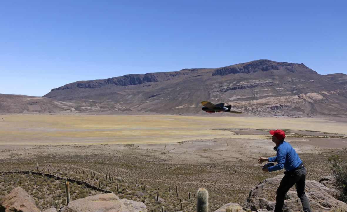
Begun in 2016, the mapping of the pre-Inca sites in the region of Uyuni (Bolivia) continued in 2017. A fixed-wing drone mapping mission was conducted
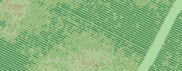
Winegrowers expressed the wish to see what was happening at the level of vineyard rows. Last summer, this wish was granted. New algorithms providing more
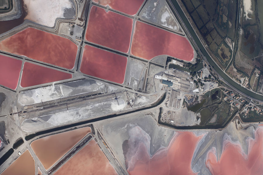
TalVeg 2 is a research and development project focusing on decision support tools for planning and monitoring ecosystems.